Why might you want to use waypoints or checkpoints?
There are two methods to add the types of points to your project for further use on your deliverables:
Method 1: Add the point through the right-hand toolbar to create a waypoint
If your project has known points that you would like highlighted you can do so by selecting the third tab down on the right-hand toolbar on your project. Once you are in that third tab there will be different tool options at the top like this: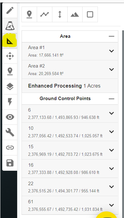
Select the first icon or "point" tool.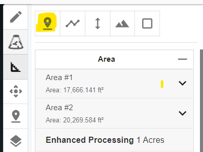
From here the Point can be titled to fit what it represents and can be placed wherever desired in your Point Cloud.
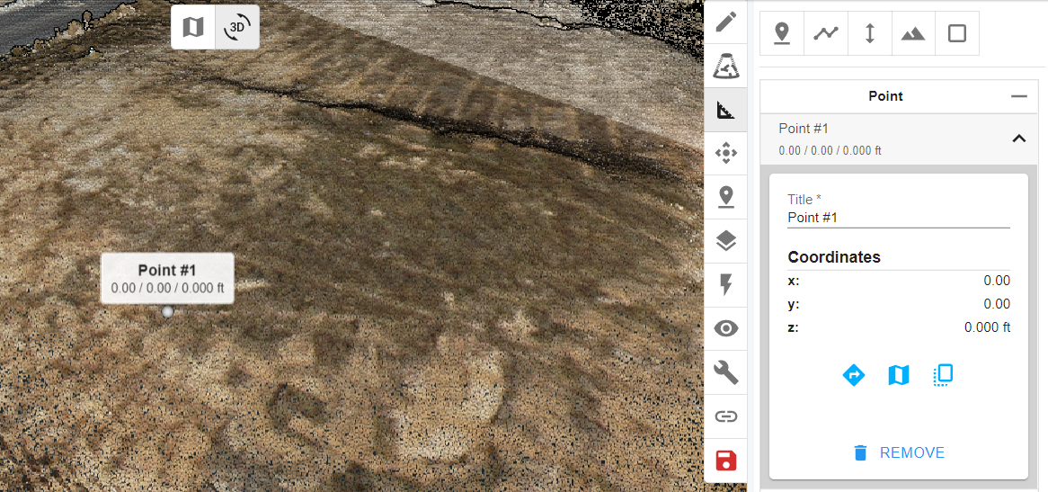
Once satisfied with point placement be sure to hit the Save icon (which will be red if there's unsaved items in your point cloud).
Method 2: Creating/ Uploading Checkpoints along with GCPs
If your points of interest are already known you can upload them along with your GCPs under "Add Ground Control Points" on the left hand side menu. From there, head to the "Show Advanced" link in the GCP tab :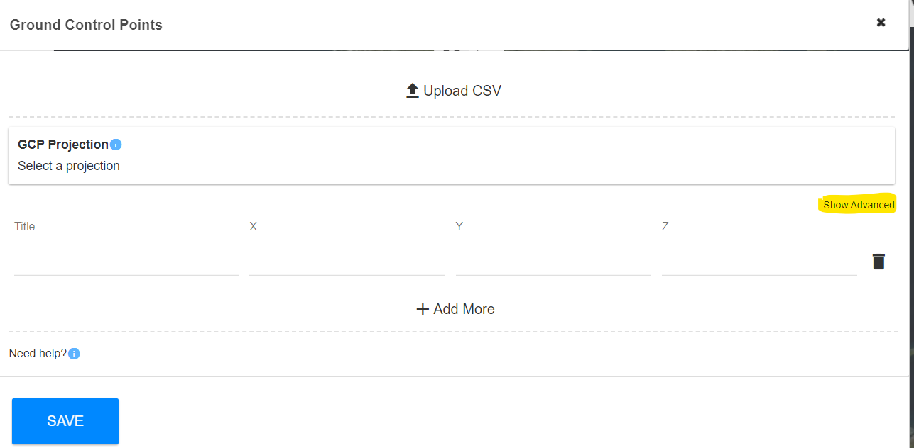
Now you can name the GCPs and Checkpoints correctly and enable them as GCPs or Checkpoints accordingly.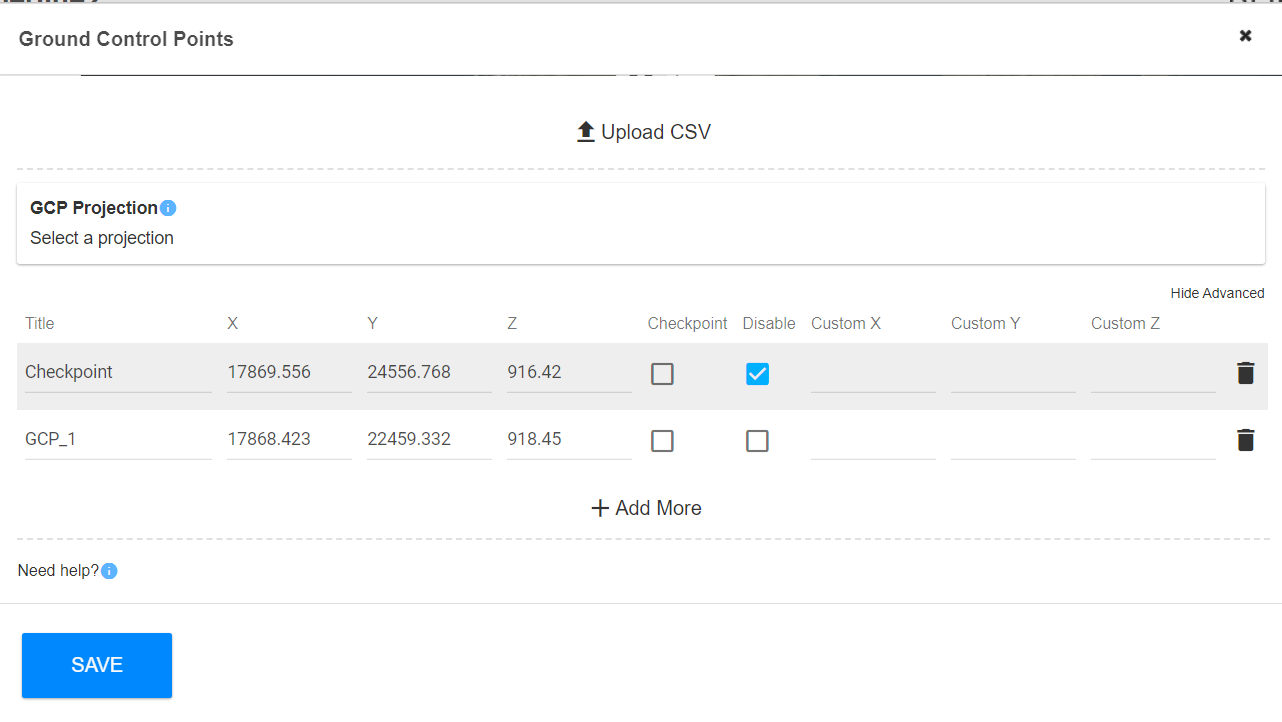
You can select the "Disable" box for a checkpoint or GCP if you do not want them included on the accuracy report.