Moving from Ground to Grid
- Set your project Coordinate Reference System (PCMaster and Painter work in WGS 84 x,y and an ellipsoid height z).
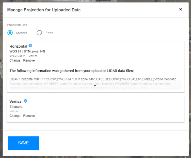
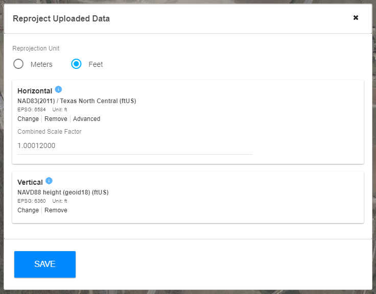
- Select "Reprojection" in the left toolbar and key in your state plane datums for x,y,z.
- Under the Horizontal click "advanced" to show the Combined Scale Factor Input line.
- Key in your scale factor for your county or project. (for example Fannin county 1.00012000)
- This will convert your pointcloud data as well as your uploaded GCP's from Ground to Grid. It will look correct on the basemap in the Rock Cloud and at export we convert it back to ground coordinates so it matches up with your survey points or construction documents.