Learn the difference between Urban, Semi-Urban & Rural Planimetric setting configurations. Choosing the correct setting will allow the ROCK Cloud to estimate the appropriate time table and cost for the work involved with your project area.
Urban
The image below is an example of an Urban Setting:
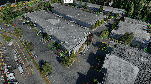
An urban area consists of multiple warehouses, parking lots, shopping centers, etc. Think of the urban setting as a mostly paved, highly developed area where you also find interstates and major highways.
Semi-Urban
The image below is an example of a Semi-Urban Setting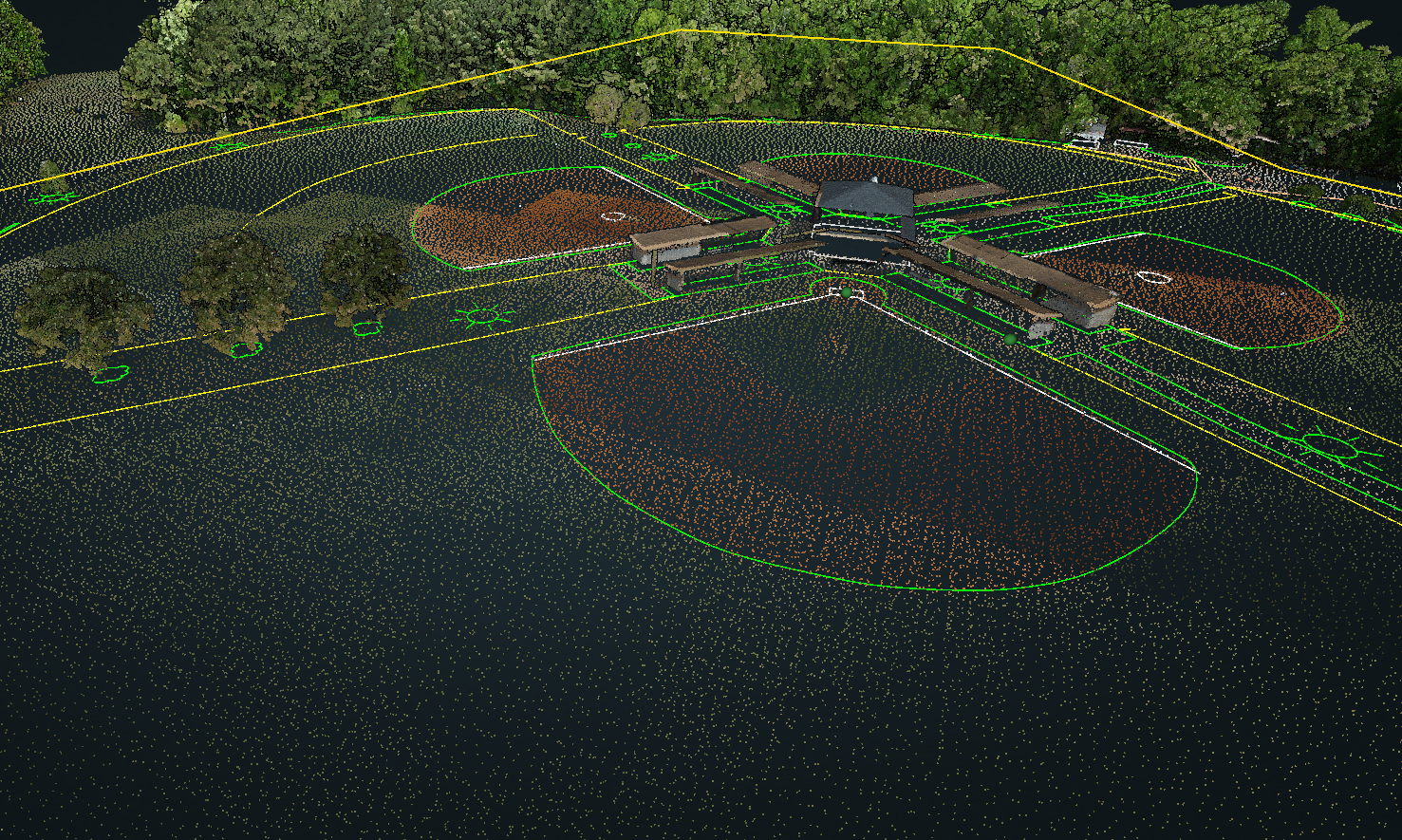
A semi-urban area consists of structures such as houses, paved roads, slight vegetation, etc. Think of the semi-urban area as a moderately developed area with green space such as in a subdivision or park where you would find local streets or feeder roads.
Rural
The image below is an example of a Rural Setting
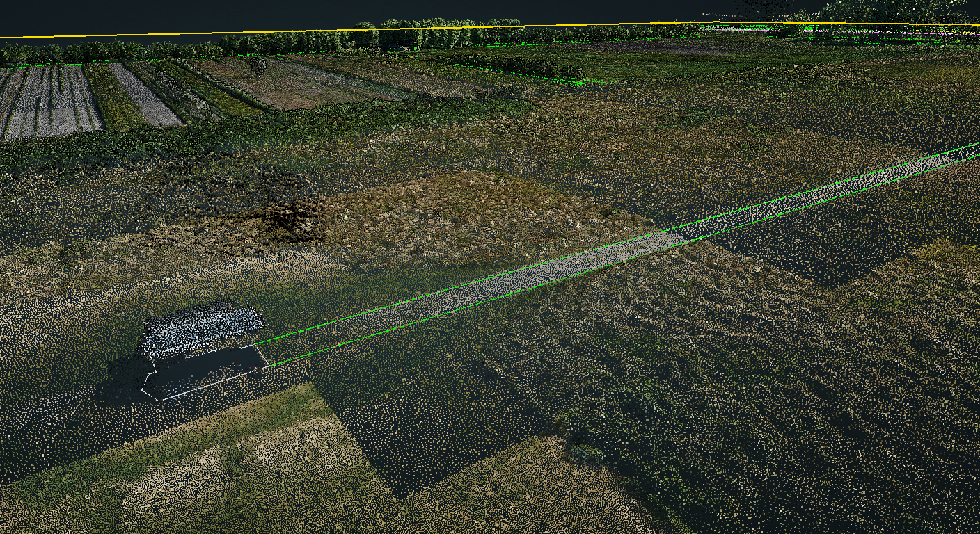 A rural area consists of vegetation and undeveloped land with minimal infrastructure and often unpaved roads.
What if I can't determine the setting?
Don't worry! You can always reach out the the ROCK Support Team and we can help guide you. Or you can pick your best estimate and if the ROCK Cloud QA Team determines it is different from your selection, they will reach out to discuss it with you.
Have more questions about this topic? Visit community.rockrobotic.com to create a post to ask questions and connect with other community members as well as the ROCK Support Team.