 Speed and Efficiency
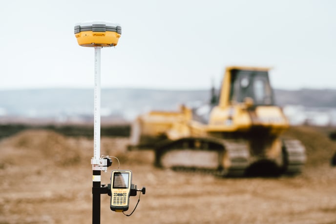
Drones equipped with LiDAR technology can cover large areas quickly and easily, providing detailed data that would be difficult or impossible to collect manually. This can save time and money for construction professionals and ensure that inspections are completed on schedule. For example, LiDAR-enabled drones can be used to survey large construction sites, such as bridges, roads, or pipelines, in a fraction of the time it would take to survey the same area manually.LiDAR-enabled drones can improve the speed and efficiency of construction projects by providing real-time information about the site. This can be used to ensure that workers are aware of potential issues and that safety protocols are being followed. For example, drones equipped with LiDAR can be used to monitor the movement of heavy equipment or to ensure that workers are wearing the proper safety gear.
Drones equipped with LiDAR sensors can improve the speed and efficiency of construction projects by automating some of the data collection and analysis processes. This can reduce the need for manual data collection and analysis, saving construction professionals time and money. For example, the data collected by drones can be used to create detailed 3D models of the site, which can be used to identify potential issues or problems before they occur.
Accuracy and Precision
LiDAR can provide accurate and precise measurements of buildings, structures, and terrain. This can be used to identify potential issues or problems that might affect the construction project's progress. For example, drones equipped with LiDAR can measure the volume of earthworks, the terrain's elevation, or the building's dimensions. This data can be used to verify that the construction project is proceeding according to plan and that the final product will meet the required specifications.LiDAR-enabled drones can create detailed 3D models of the construction site. These models can improve the accuracy and precision of construction plans and designs. For example, engineers and architects can use the data collected by drones to create more accurate models of the site, which can be used to identify potential issues or problems before they occur.
Safety
By using drones equipped with LiDAR sensors, construction professionals can avoid the need to put workers in dangerous or hard-to-reach areas. This can help to reduce the risk of accidents or injuries on the construction site. For example, drones can be used to inspect the roof of a building or the top of a bridge, which can be difficult or dangerous for workers to access.
Drones can provide detailed, high-resolution data that can be used to identify potential safety hazards on the construction site. This can help to ensure that the project stays on track and within budget by identifying problems early on. For example, drones equipped with LiDAR can detect cracks or deformations in structures, or identify areas of a construction site that may be prone to erosion or landslides.
LiDAR enabled drones can improve safety by providing real-time information about the construction site. This can be used to ensure that workers are aware of potential hazards and that safety protocols are being followed. For example, drones equipped with LiDAR can be used to monitor the movement of heavy equipment or to ensure that workers are wearing the proper safety gear.
Drones equipped with LiDAR sensors can provide detailed, high-resolution data that can improve the efficiency and accuracy of construction site inspections. Using this technology can save time and money for construction professionals, ensure that projects are completed on schedule and improve safety on construction sites.
Visit rockrobotic.com to learn more about ROCK Robotic's survey-grade LiDAR hardware and software.