- ROCK Knowledgebase
- ROCK Cloud
Ordering ROCK Planimetrics from Orthomosaic Maps
You can use the ROCK Cloud to create excellent 2D planimetric data from your Ortho!
Step 1: Log in to your ROCK Cloud account and create a project.
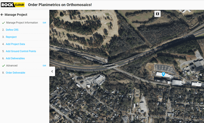
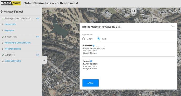
Step 2: Select the appropriate CRS (Coordinate Reference System).
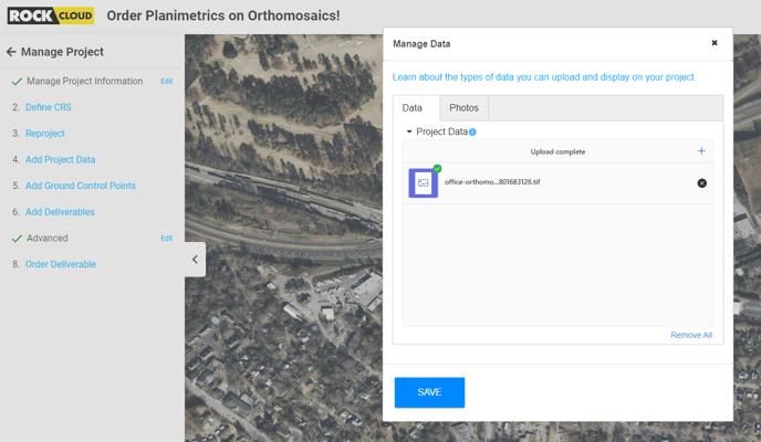
Step 3: Upload the geoTIFF image in the same coordinate system.
Step 4: After the image visualizes, go to the Measurements toolbar on the right side and use the Measure Area tool to select the Planimetrics area.
Step 5: Finalize your area selection and Save your project.
Step 6: Click Order or Request Quote on the ROCK Planimetrics Deliverable to get started with processing your Planimetric Deliverable.
Here's how to determine if your Planimetrics setting is Rural, Semi-urban or Urban https://learn.rockrobotic.com/difference-between-rural-and-urban-projects
Here's info on using Custom Symbols in your Planimetric Deliverable: https://learn.rockrobotic.com/custom-planimetric-symbols