The DJI Mavic 3 Enterprise has revolutionized the drone mapping landscape. This powerhouse of a drone delivers exceptional imaging capabilities, transforming the way we approach comprehensive mapping. But, what if we could supercharge its productivity even further?
Enter ROCK Cloud - your key to unlocking the full potential of your Mavic 3 Enterprise.
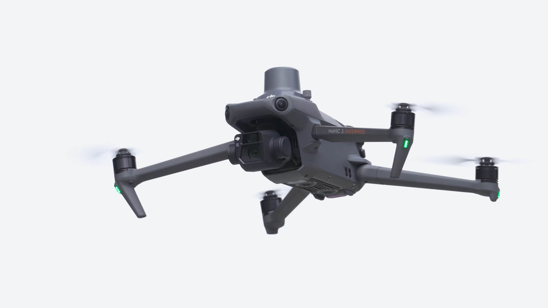
The Mavic 3 Enterprise, as DJI's top-tier mapping drone, captures images of unparalleled quality, a vital feature for a broad range of mapping projects. You can process these images via your photogrammetry software of choice to create intricate point clouds or precise orthomosaics.
However, the magic truly happens when you integrate ROCK Cloud into your workflow.
ROCK Cloud adds another layer of value to your Mavic 3 Enterprise's capabilities. Use the point cloud you've generated to order ROCK Surveyor. With it, you'll get access to a Digital Elevation Model (DEM), contours, point grid, surface, and much more.
When it comes to orthomosaics, ROCK Planimetric steps up to the plate, delivering a CAD file featuring a digitized set of linework.
Mavic 3 Enterprise coupled with the extensive capabilities of ROCK Cloud truly shines. This powerful duo allows you to maintain high levels of productivity, regardless of whether LiDAR is in the mix.
The combination of the Mavic 3 Enterprise's high-resolution imaging and ROCK Cloud's efficient processing tools enables surveyors to handle diverse projects with unrivaled precision and efficiency. This unmatched synergy paves the way to greater productivity and increased return on investment.
In a nutshell, with your Mavic 3 Enterprise and ROCK Cloud, you're setting the stage for consistent delivery of top-notch results. Whether you're producing an orthomosaic or a point cloud, you're tapping into a workflow that meets and exceeds industry standards.
Steps to getting your data in ROCK Cloud:
- Sign up for a ROCK Cloud account! rockrobotic.com
- Create a project in ROCK Cloud
- Upload your ortho and/or point cloud
- Make sure your GCPs line up, using Auto Align!
- Order your ROCK Deliverables and let the magic happen!
Are you prepared to elevate your surveying and mapping capabilities? Ready to extract maximum productivity from your Mavic 3 Enterprise? Sign up for ROCK Cloud today, and experience efficiency and precision like never before. Be it for LiDAR or conventional photogrammetry, ROCK Cloud is your reliable partner in mapping success.
Don't wait any longer to redefine what your Mavic 3 Enterprise can do. Sign up at https://www.rockrobotic.com/cloud today, and welcome the future of drone mapping with ROCK Cloud. It's time to take your Mavic 3 Enterprise to new heights.