Visualizing your trajectory in a Rock Cloud project has multiple uses For the R2A:
Locating a Trajectory in your project folder
Your Trajectory file is titled "ppk.txt" and is located in the [ins] folder of your Rock LiDAR project.
Uploading a Trajectory to a Rock Cloud Project
Simply drag the "ppk.txt" file into your project data and it will queue it being visualized once you save.
For the L1:
Simply drag the "SBET" file into your project data and it will queue it being visualized once you save.
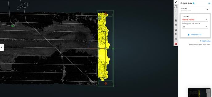
Uses of a visualized Trajectory in the Map and LiDAR view
There are a number of reasons that it's valuable to have your Trajectory viewable that include:
Map View
-Verifying that your AOI (Area of Interest) as shown by the .kml mirrors the lines of your trajectory
-Identifying where your data was captured on the earth via GNSS data output into the trajectory file
LiDAR View
-Check AGL (Above Ground Level) height in comparison to your point cloud
-View notable actions of your flight
-Turns
-Elevation Changes
-Battery Swaps
-Take Off/Landing point
-Checking or sharing your convergence maneuver (AKA Figure 8s)
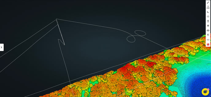
-Reference to your .kml
Using as a reference for trimming excess data off the edges of your point cloud prior to processing is a good way of getting a visualization of your .kml in your point cloud to trim points off the edge and make it conform closer to your original flight plan AOI