 Real-time kinematic (RTK) and post-processing kinematic (PPK) are both methods of using the Global Positioning System (GPS) or other satellite-based navigation systems to determine precise positions in drone-based land surveying. However, several key differences between the two methods make them suitable for different types of applications and scenarios.
Real-Time Kinematics
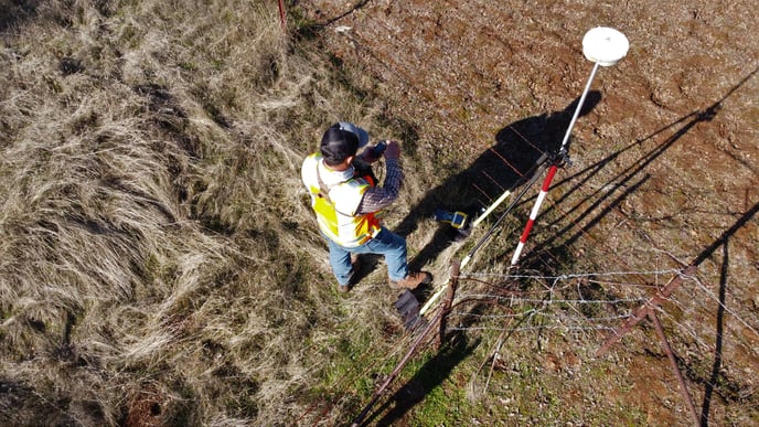
RTK is a real-time positioning method that uses a base station and a mobile receiver (in this case, a drone) to determine the precise position of the drone in real time. The base station is located at a known position and receives signals from GPS or other navigation satellites, which it uses to calculate its position. The drone also receives signals from the same satellites and uses them to calculate its position. The drone can then use the information from the base station to correct any errors in its own position calculations, allowing it to determine its position with an accuracy of a few centimeters. This method allows for real-time mapping and surveying, providing immediate feedback on the drone's position.
Post-Processing Kinematics
PPK, on the other hand, is a post-processing positioning method that uses the data collected by the drone during the survey and processes it afterward. The drone records the raw data from the GPS/GNSS satellites, and later on, the data is processed using specialized software to determine the precise position of the drone. The software applies various corrections, such as atmospheric and ionospheric corrections, to improve the accuracy of the position. PPK can achieve similar accuracy as RTK, but the process takes place after the survey is completed. This method is typically used when the data needs to be processed in a more controlled environment, for example, in cases where the survey area is hard to access or the survey is conducted in adverse weather conditions.
RTK vs. PPK
One of the main differences between RTK and PPK in drone-based land surveying is the real-time aspect of RTK. With RTK, the user can see the drone's position in real-time, which is useful in many applications, such as construction, agriculture, and emergency response, where the user needs to know the drone's position at all times. PPK, on the other hand, is better suited for applications where the precise position is needed only after the survey is completed, such as mapping and surveying large areas.
Another difference between RTK and PPK is the infrastructure required. RTK requires a base station to be set up at a known position and connected to a network of CORS (Continuously Operating Reference Station) that provides correction data to the base station. PPK does not require a base station, and the data can be processed later on a computer.
RTK and PPK can achieve similar accuracy, but RTK is better suited for applications where real-time positioning is required. At the same time, PPK is better suited for applications where the precise position is needed only after the survey is completed.
Please note that for a drone LiDAR survey using a ROCK LiDAR unit does not require RTK positioning.
Visit rockrobotic.com to learn more about ROCK Robotic's survey-grade LiDAR hardware and software.