The Rock Cloud makes your L1 lidar data better than by just using DJI Terra. This is by a process of Strip Alignment. Over time the L1's onboard Inertial Measurement Unit (IMU) drifts and causes alignment issues across your dataset. By combining your LiDAR data and the SBET trajectory that DJI Terra generates we are able to mitigate the IMU drift and apply corrections to your LiDAR data!
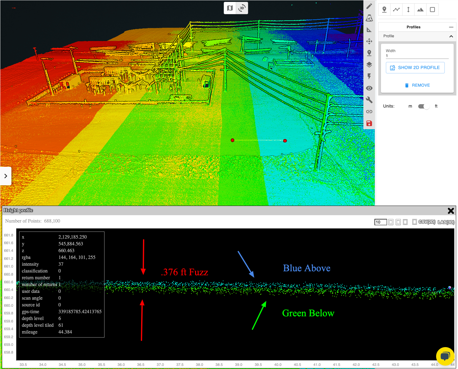
Before Rock Cloud Strip Alignment:
Every flight line or "strip" is misaligned to the previous flight line. In the below picture colored by gps time you can see in the cross section a distinct blue layer and green layer. These two flight lines should not create distinct layers. Additionally, the thickness of the "fuzz" is .376 ft.
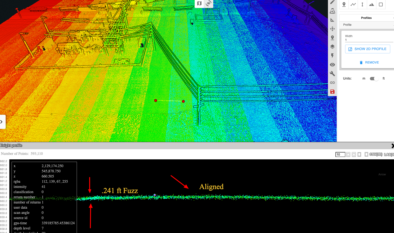
After Rock Cloud Strip Alignment:
After strip alignment you can no longer see a distinct blue and green layer -- they merge into one. Additionally, the "fuzz" is measured as .241 ft. The Rock Cloud Strip Align reduced the point cloud thickness by 36%! Reducing the thickness of the point cloud will increases the accuracy of the final deliverables!
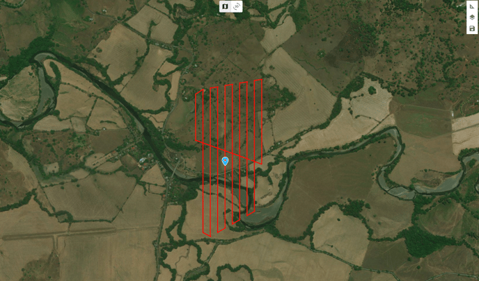
Upload your SBET File
After processing with DJI Terra upload your cloud######.las file and the file ending in "zenmuse-l1-mission-sbet.out" to the Rock Cloud "Project Data directory". See this article for tips on exporting your point cloud from DJI Terra.
Next, order Rock Surveyor and select "Strip Alignment".
You can export one or multiple LAS files out of Terra and use one or multiple multiple SBETs on a single project in Rock Cloud.
Both the las/laz and the sbet file need to come from DJI Terra. If you bring into another software and then export the las/laz before uploading strip alignment may not work.