Mounting
Ensure your aircraft can fly this payload prior to use by performing a control check at low altitude and/or auto center of gravity calibration. ROCK Robotic recommends using the facade mount with the M300 as we have tested it specifically with that drone.
Adjusting Your LiDAR Settings for Facade Scanning
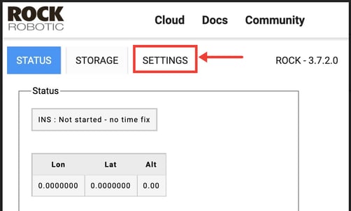
- Open the LiDAR Web GUI.
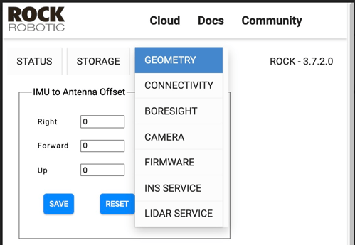
- Select "Settings" dropdown menu.
3. Select Geometry from the dropdown options.
-
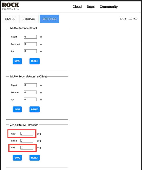
- Adjusting these values carries them into your PCMaster and PCPainter projects to aid in automatic calculations for processing.
- Adjusting these values carries them into your PCMaster and PCPainter projects to aid in automatic calculations for processing.
If your data looks off after you've processed and colored it, then try switching your YAW and ROLL values.
Remember to put your orientation values back to the defaults (YAW 180, Pitch 0, ROLL 0) prior to your next NADIR flight.
Flight Considerations
Safety First! Keep in mind that when you fly your Facade mounted LiDAR you'll be scanning and flying sideways. This means your FPV (First Person View) view may not be adequate to ensure safe flight. We highly recommend that you have an experienced pilot (RPIC) who has direct line of sight and a visual observer (VO) in direct communication at different viewpoints.
- Perform your normal calibration movements
- Fly slowly and smoothly: Erratic movements in the scanner can throw off the lever arm closure.
- Pre-Plan your flight path: try to mimic the "lawn mower" type pattern from NADIR flights but on the vertical or horizontal plane of your target
- Fly close to your Area of Interest: Try to stay between 10 and 30 meters away from point of interest.
Processing Recommendations
Adjust the distance filter in PCMaster to eliminate data beyond your point of interest. Because the LiDAR is scanning into the horizon you'll get a lot of points beyond your target unless you filter it down.
Default: 8 m - 200 m
Recommended: 5 m - 50m
Combining with NADIR Flight
Use the Compare and Merge feature to align with a traditional NADIR LiDAR scan in ROCK Cloud.